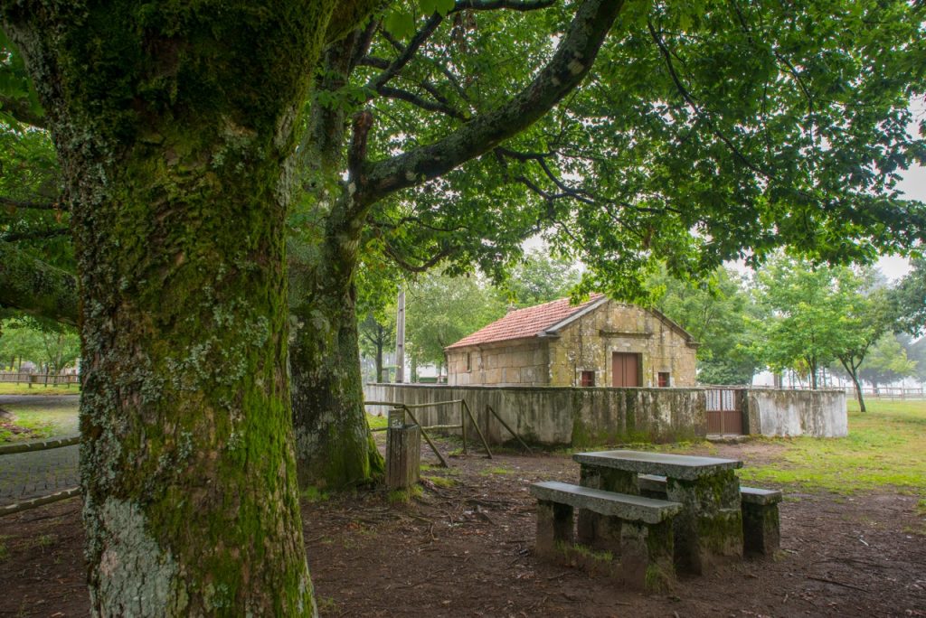
Water and Stone Route
The Water and Stone Route (RAP) is a tourist route along seven municipalities, stretching from the Douro to the Vouga, passing through the Freita, Arada and Montemuro mountains.
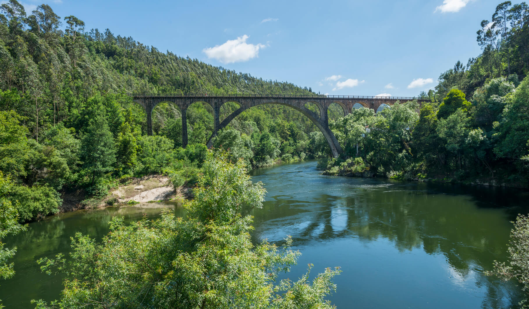
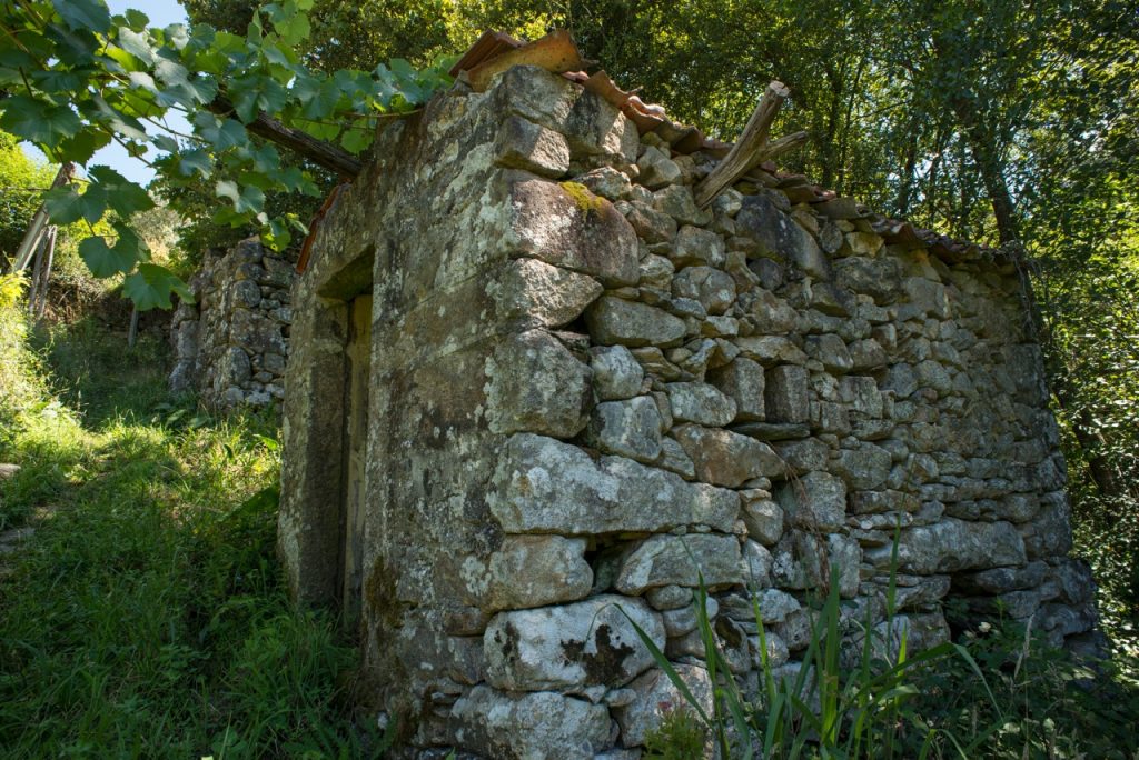
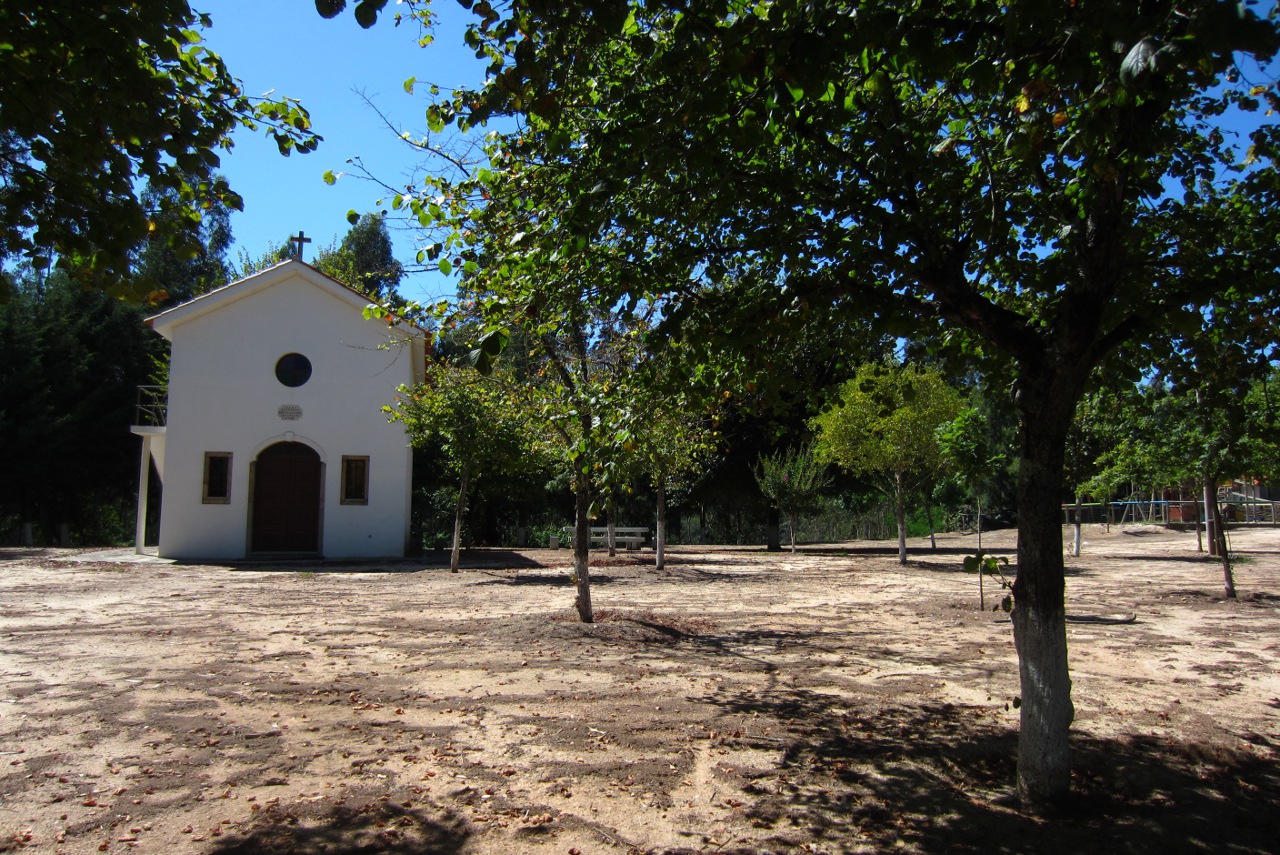
The RAP valorises elements of the natural and cultural heritage, linked to water and stone, of the territories that make it up.
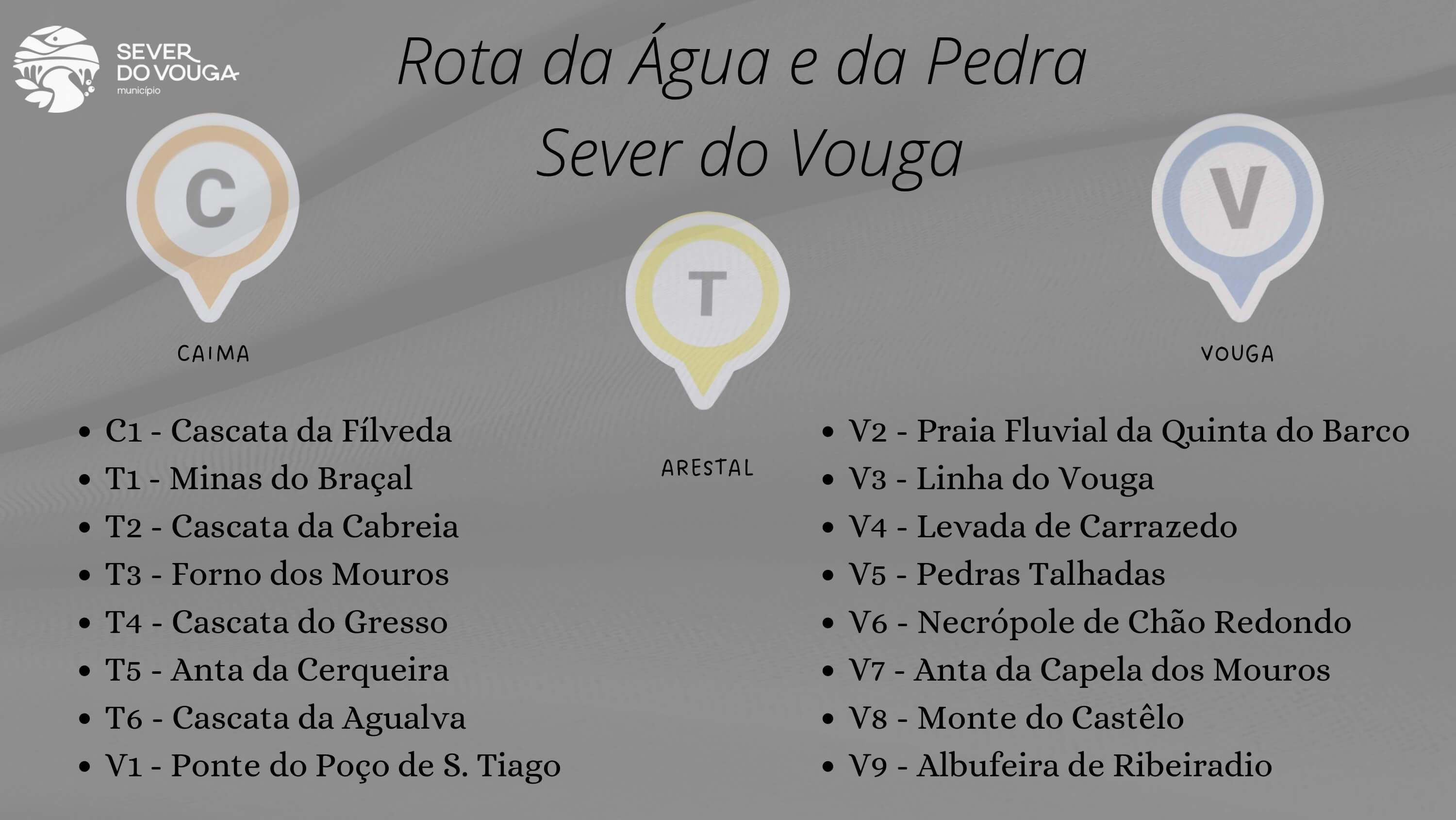
Sever do Vouga includes:
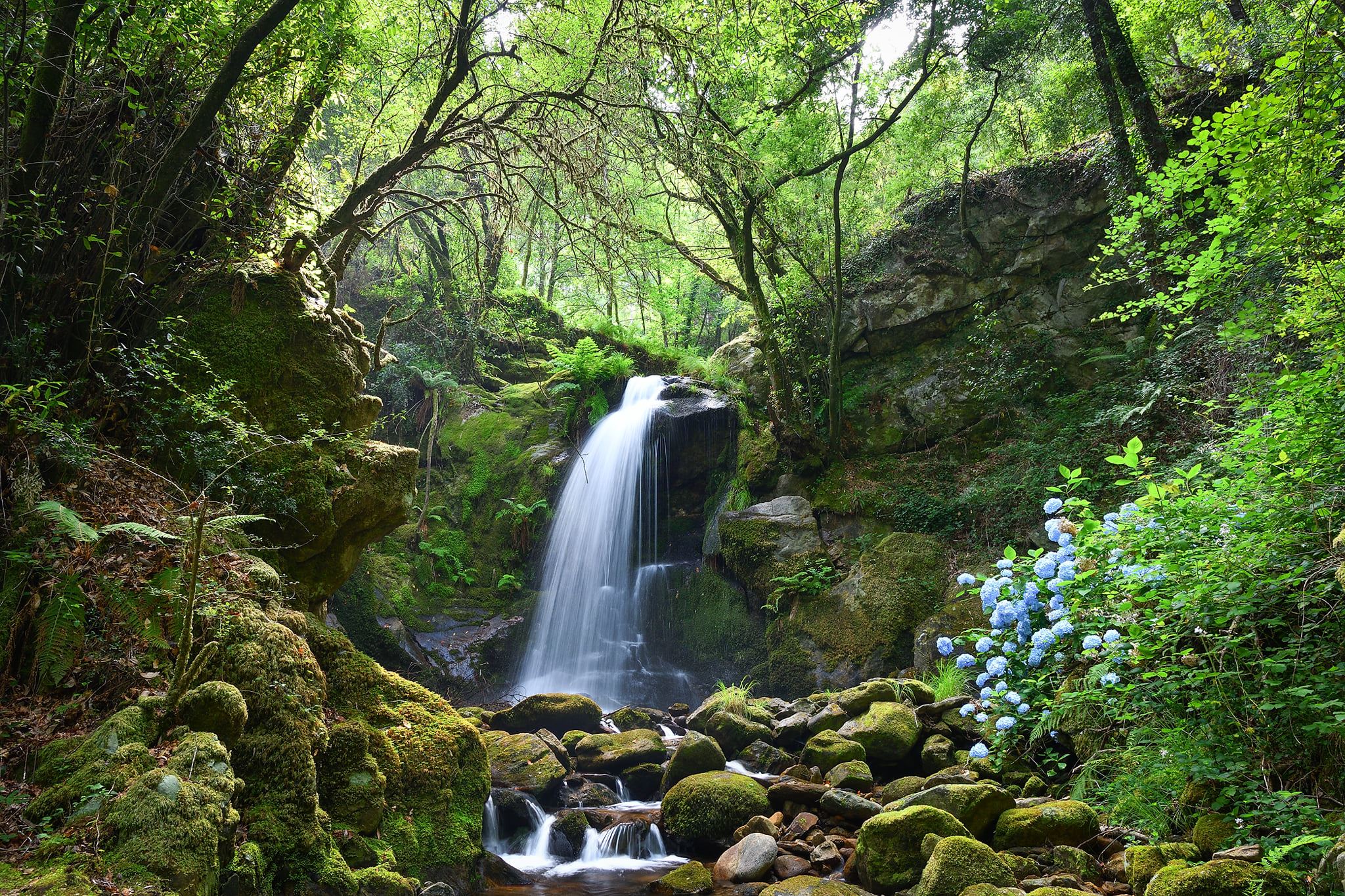
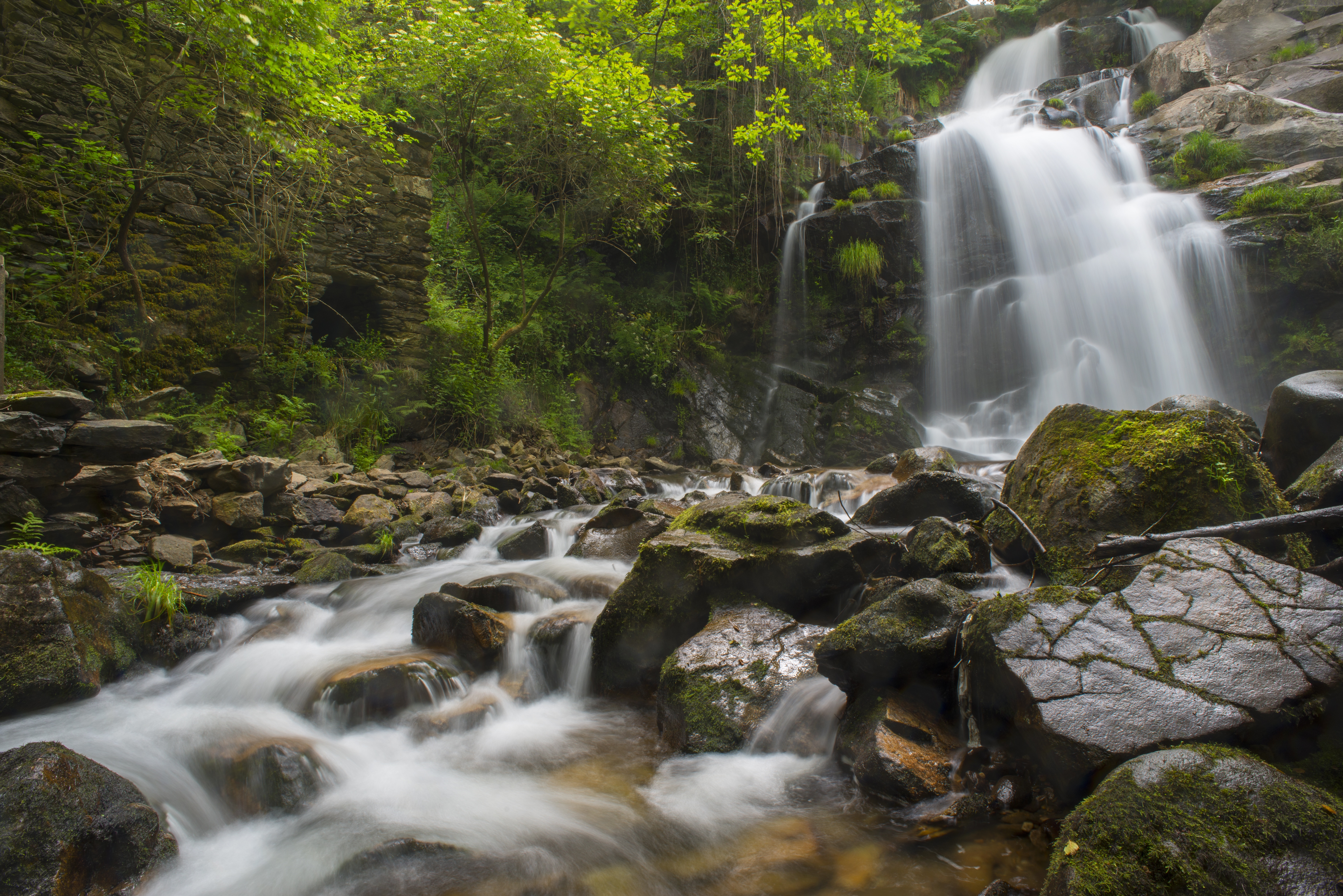
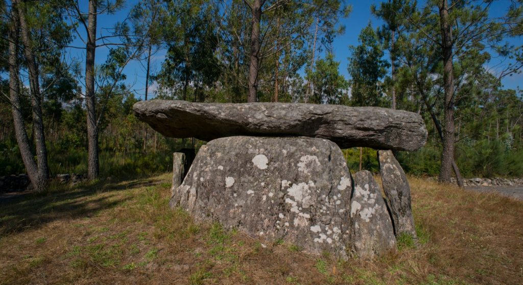
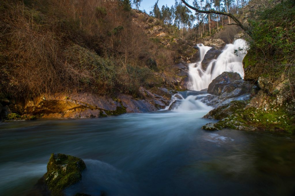
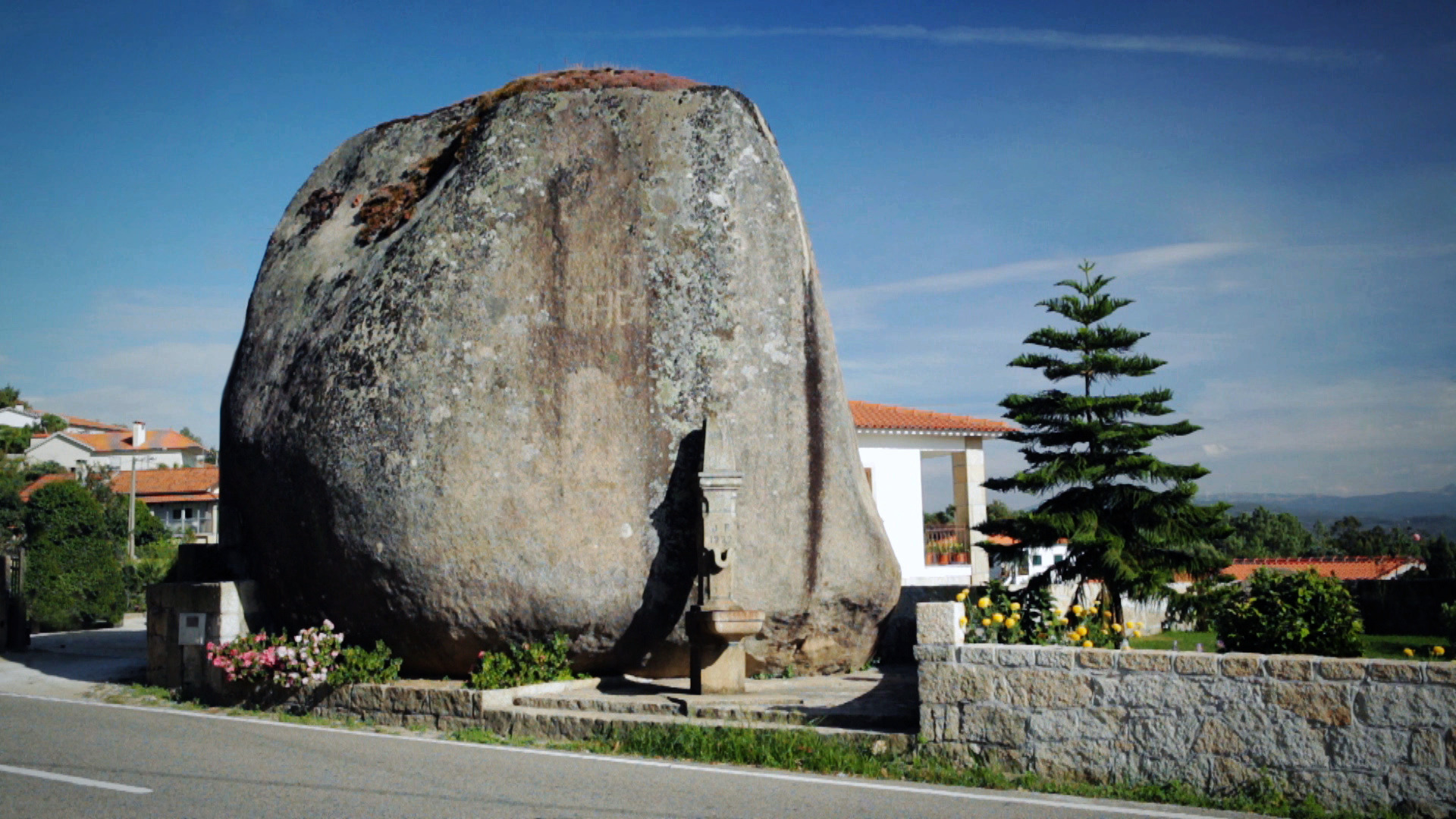
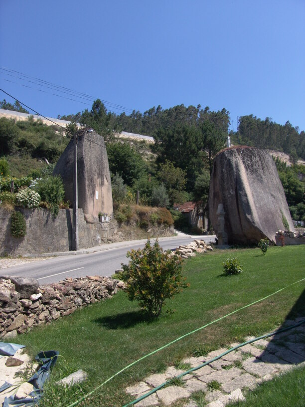
The Caima line, with the Fílveda Waterfall; the Arestal line, with the Braçal Mines, Cabreia Waterfall, Forno dos Mouros, Gresso Waterfall, Anta da Cerqueira, Agualva Waterfall and Poço da Grade Waterfall on the border between Vale de Cambra and Couto de Esteves;
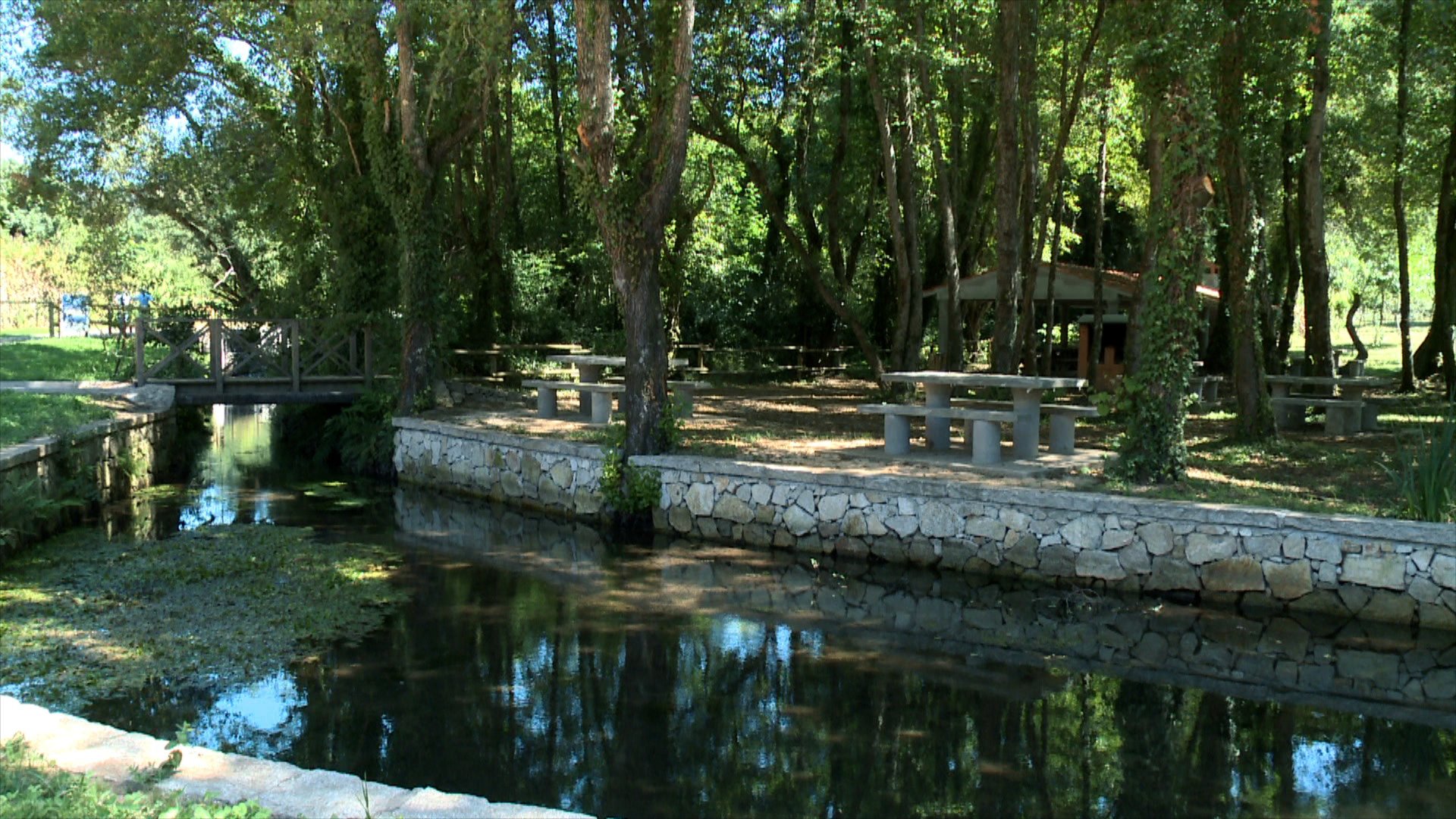
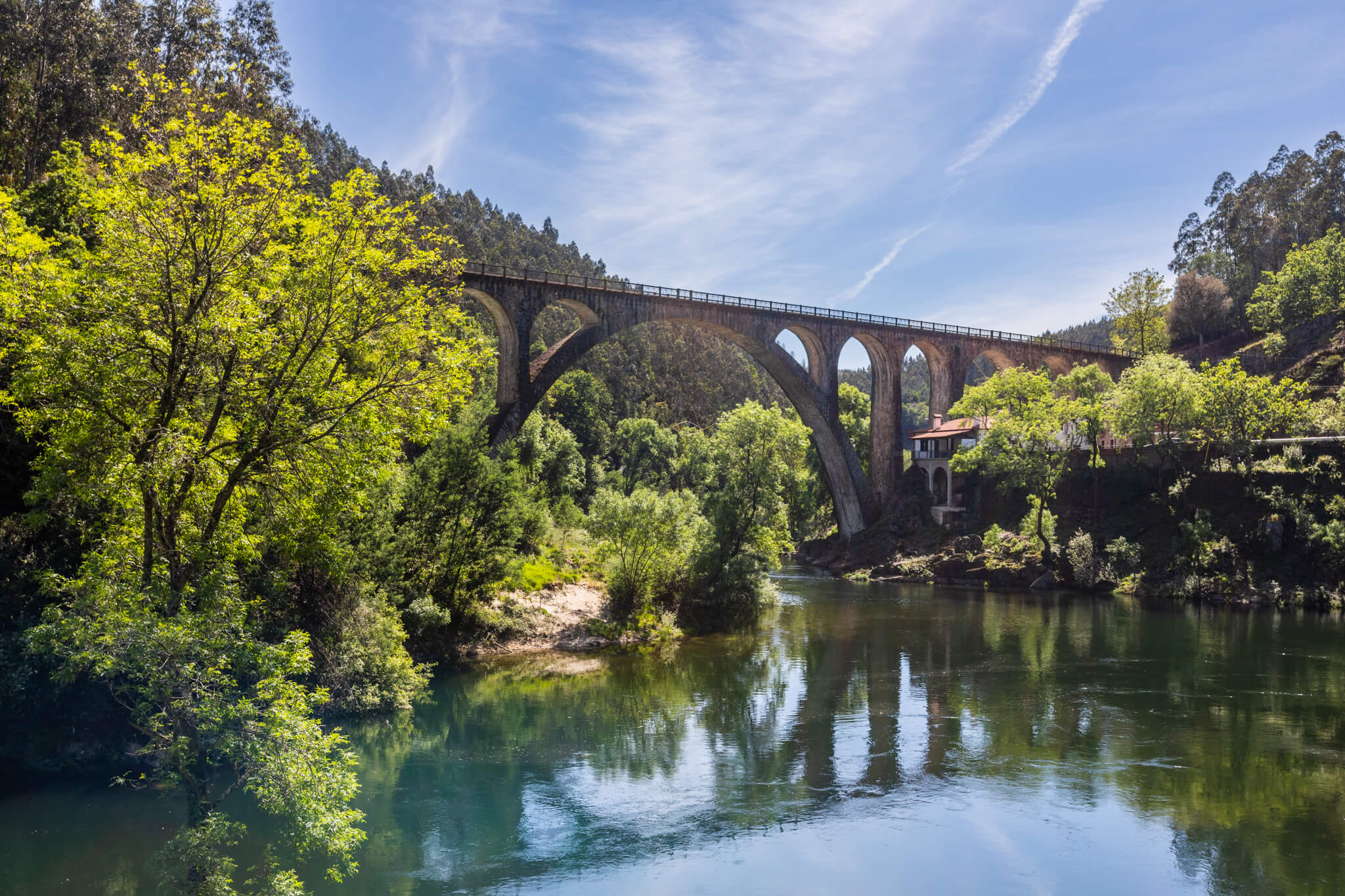
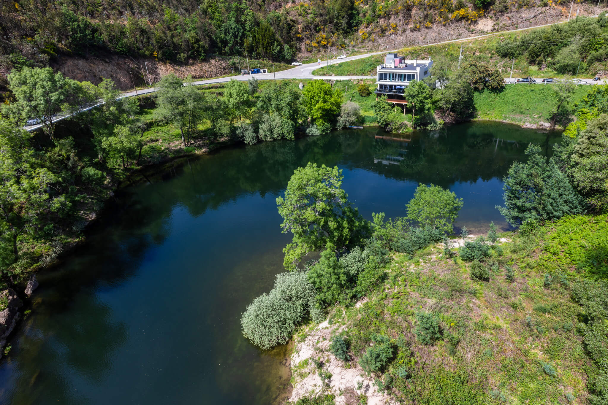
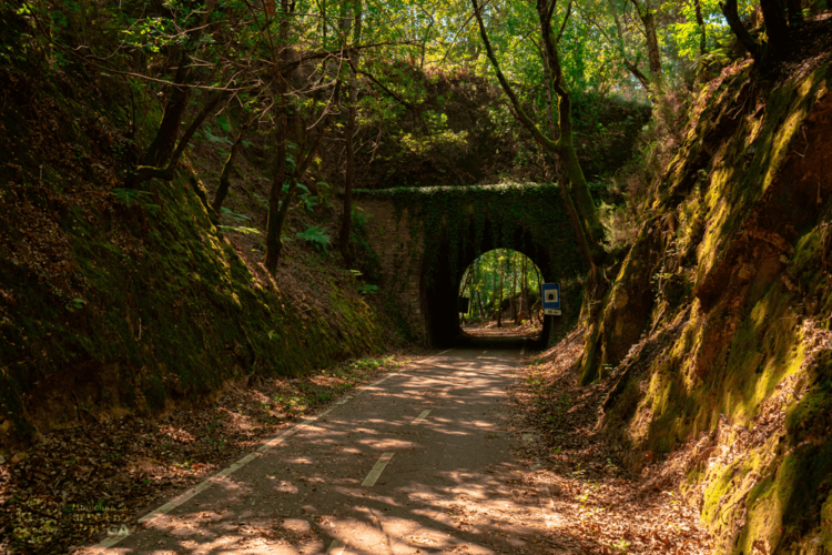
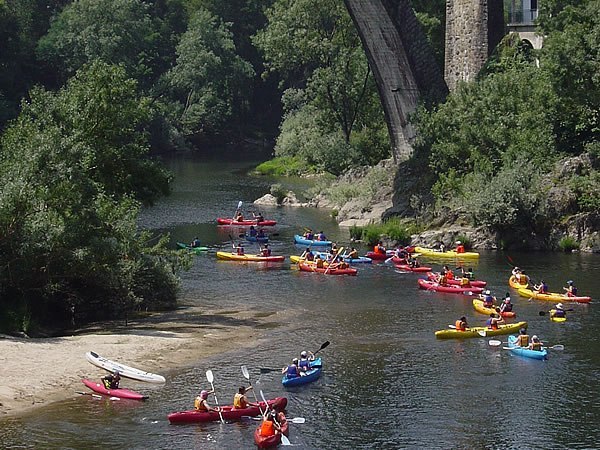
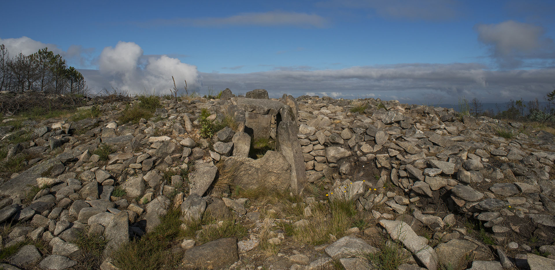
The Vouga line, with the Poço de S. Tiago Bridge, the Quinta do Barco River Beach, the Old Vouga Railway Line, now the Vouga Ecotrail, the Levada de Carrazedo, the Pedras Talhadas, the Chão Redondo Necropolis, the Anta da Capela dos Mouros, Monte Castêlo and the Couto de Esteves/Ribeiradio Reservoir;
The Arestal line, where the landscape stretches down to the sea.