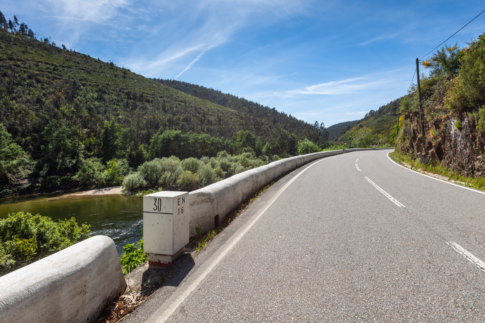
From the 1930s onwards, means of transport were established in Sever do Vouga that gave the landscape a new movement of progress: the Vouga valley railway line and the National Road 16 (EN 16).
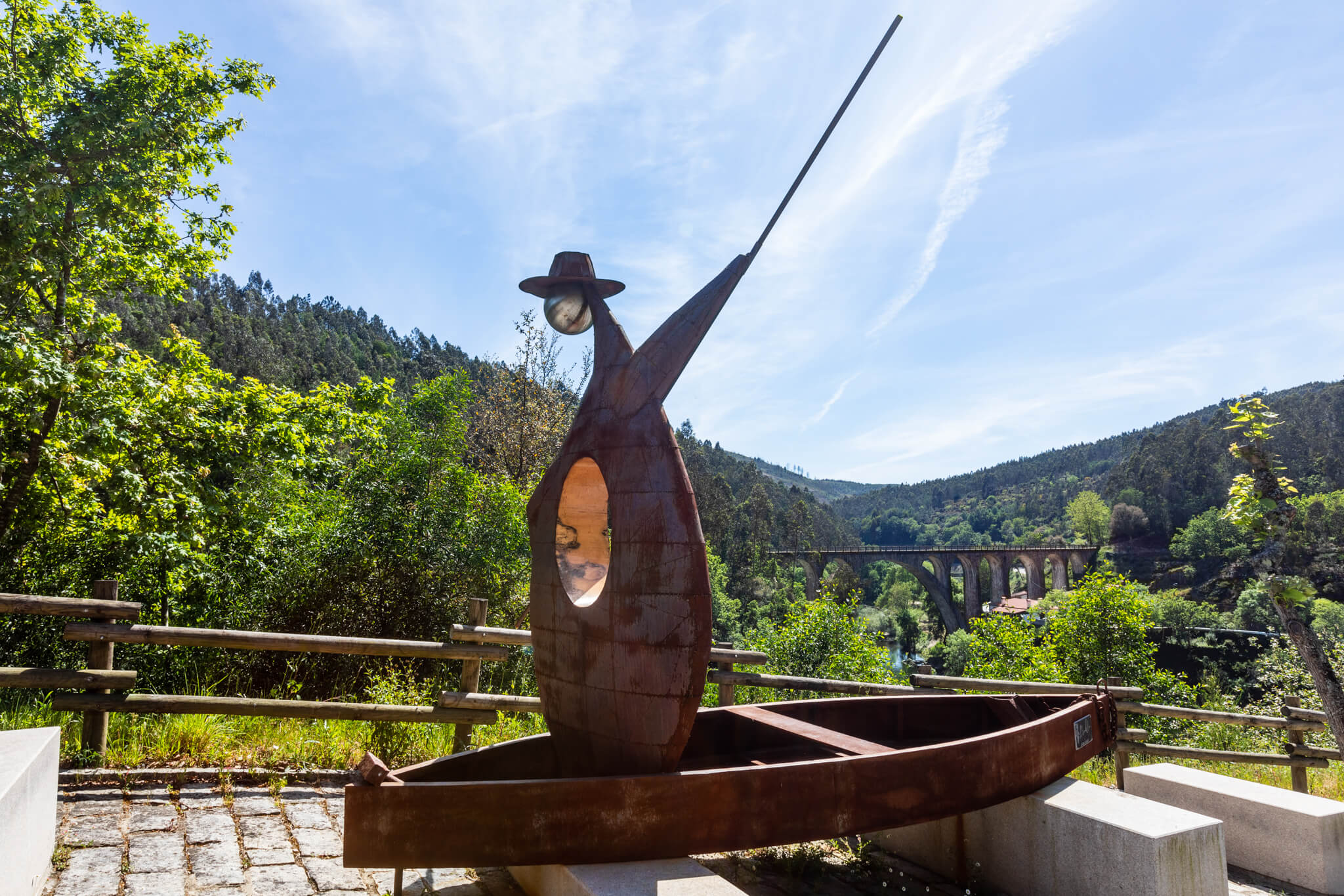
Coming from Aveiro, the new road radically improved access to the town, which until then had depended almost exclusively on the calloused hands of the boatmen who travelled up and down the river.
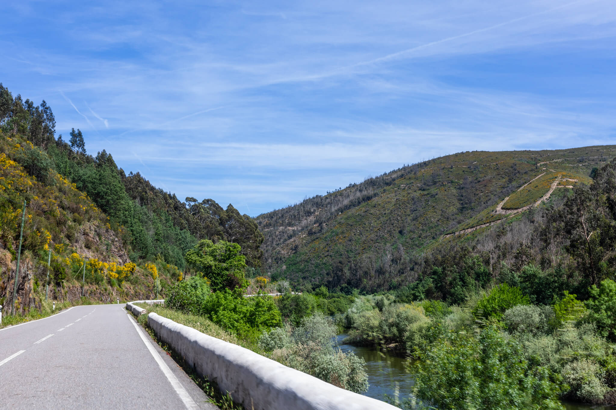
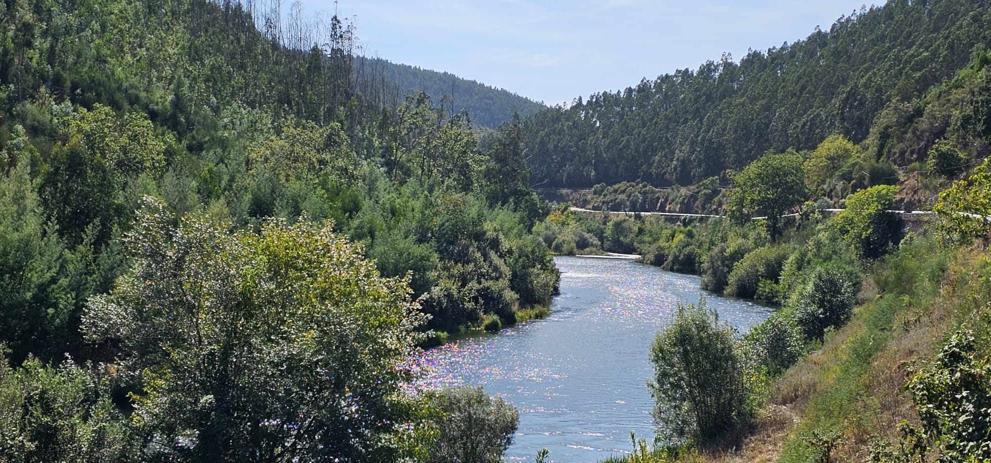
In Sever do Vouga, the EN 16 runs alongside the meandering Vouga river, from the mouth of the Mau river to the municipality's border with Oliveira de Frades.
Considered one of the main routes to be included in the National Road Plan of 1945, National Road 16 began to be devised many years earlier, in the mid-19th century, with some routes dating back to 1874. The Vouga Valley railway line was opened in stages. On 5 May 1913, the Sernada - Rio Mau link went into service, and on 4 November the stage between Rio Mau and Ribeirinho, which became fully operational on 5 February 1914.
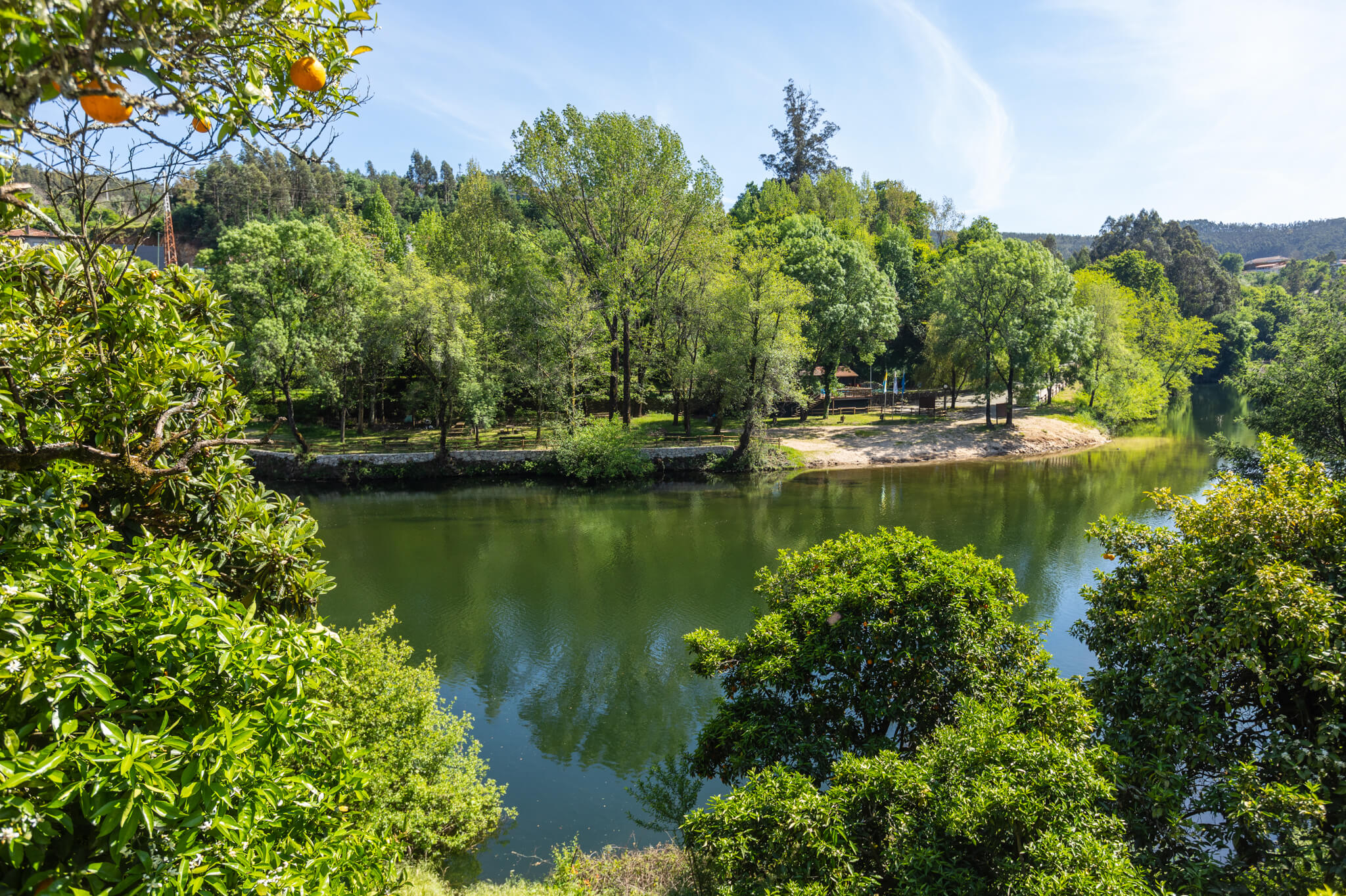
Along the way we can see the bridge and well of S. Tiago, the river beach of Quinta do Barco and cross the Abade de Pessegueiro Bridge, built in the second decade of the 19th century at the request of the parish priest. This decision was due to the frequent flooding of the River Vouga, which made it impossible for boatmen to transport parishioners and the dead from Paradela to Pessegueiro, where there was a cemetery for both parishes.
Times are changing. However, the Ecopista and the River Vouga remain side by side with the national road, just like the old railway line. More than a road, the EN 16 is a presence with history.
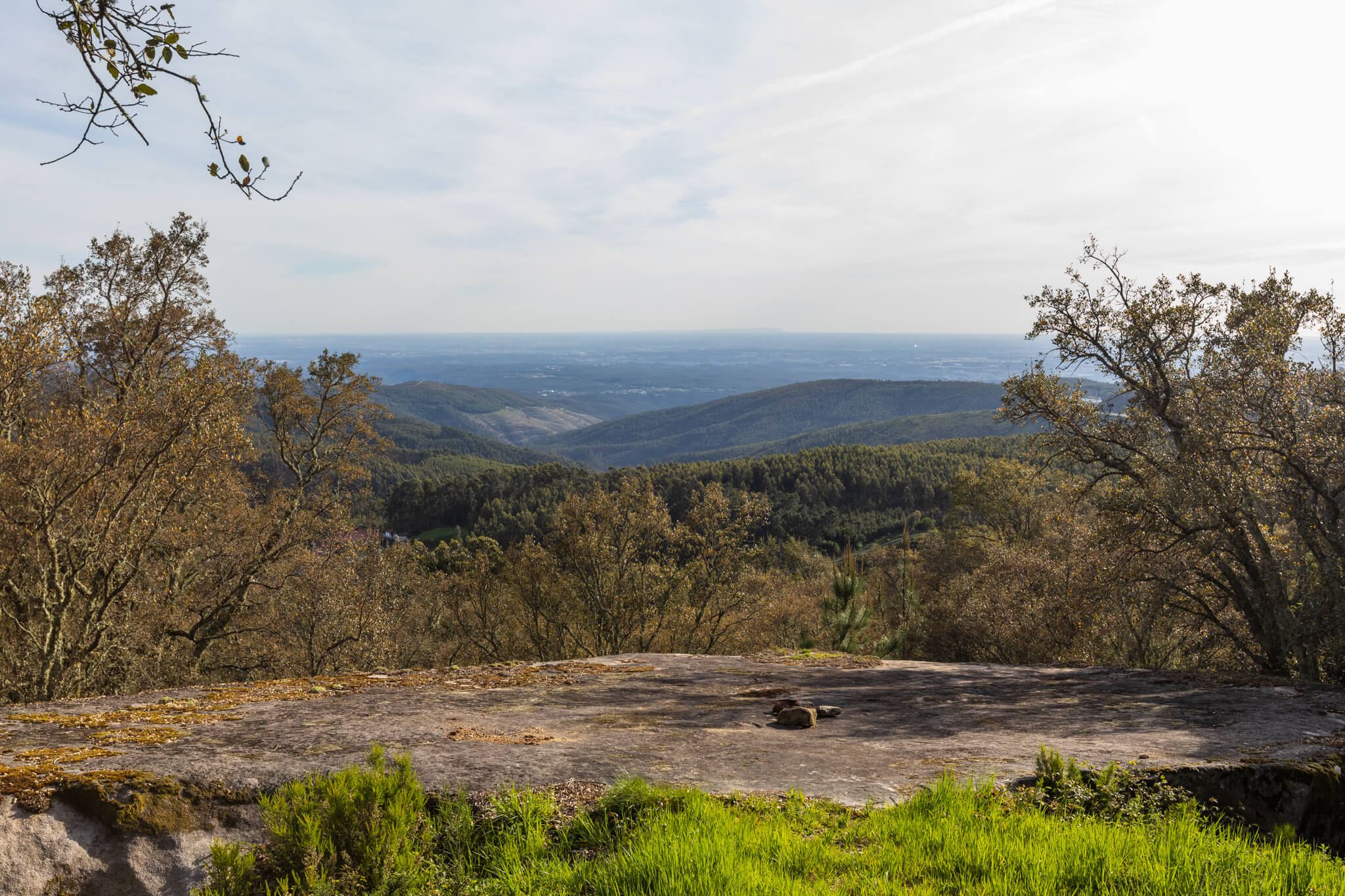
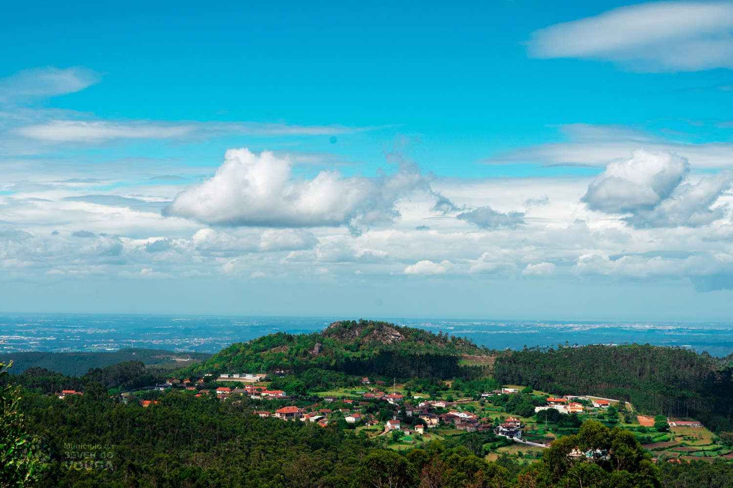
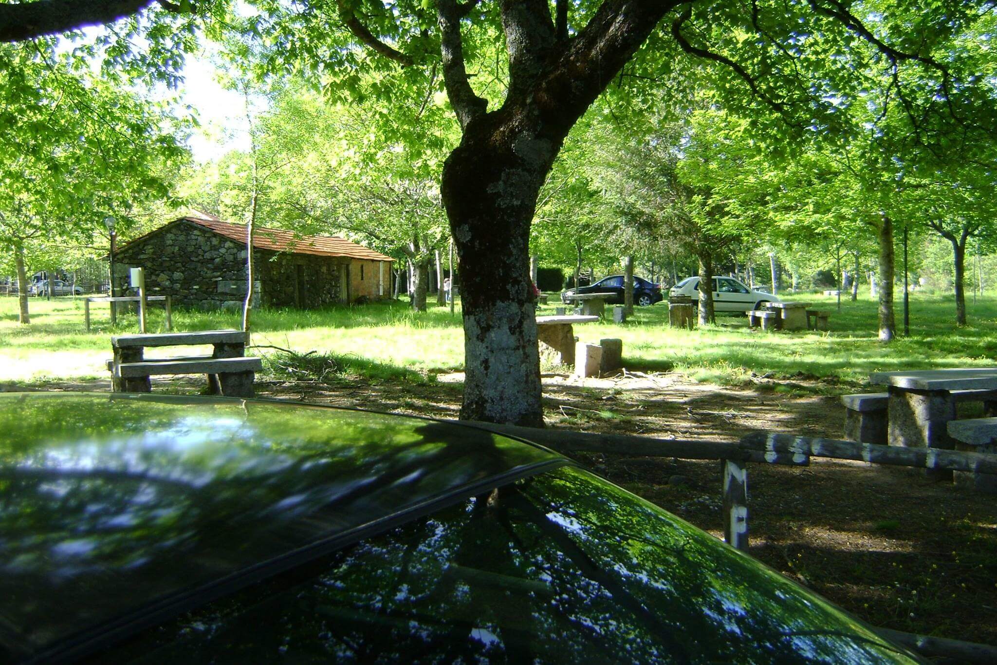
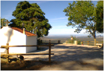
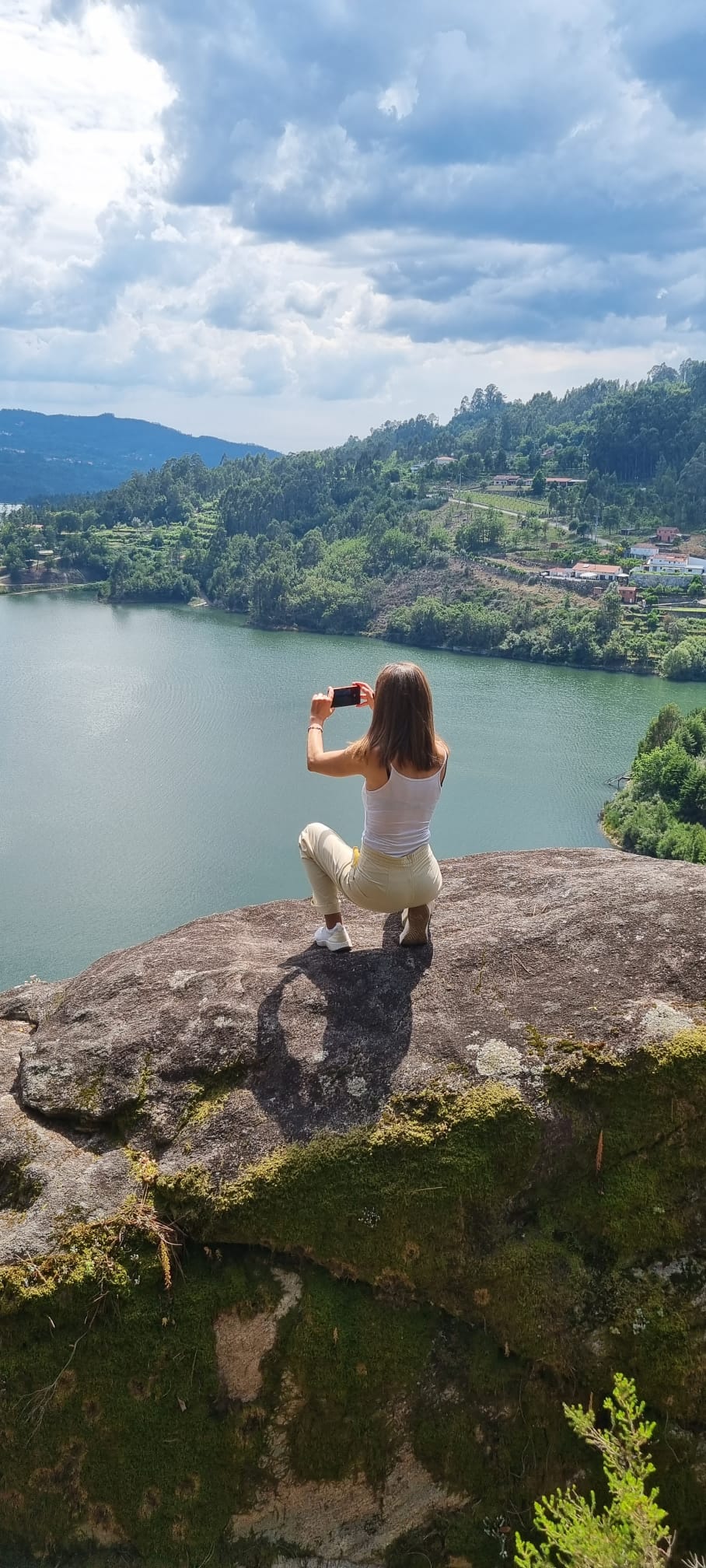
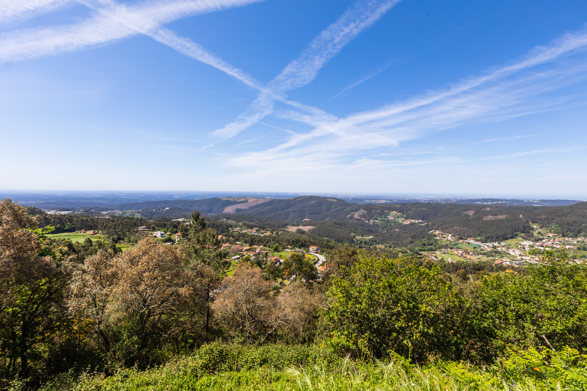
Along the 10 kilometres of its route through the municipality, small shrines, shrines, fountains and nooks and crannies emerge here and there where you can rest in areas overlooking the River Vouga, in the so-called Mirantes do Vouga.
We pass through places and riverside villages full of history, flavours and memories of those who have made this route one of the most beautiful tourist routes to discover and enjoy.


